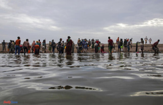
The weather appears "stable" throughout Holy Week with a low probability of rain, restricted in the first half of the week to points in the south of Andalusia, the eastern third and the Balearic Islands, and in the second it will affect the northeast more, although in general the rainfall that could occur will be "weak and scattered".
This was indicated this Monday by the spokesman for the State Meteorological Agency (Aemet) Rubén del Campo, who added that it will also rain today in the north of the Canary Islands, on the most mountainous islands, while regarding the temperatures he has said that they will increase from progressively throughout the week.
He has specified, however, that the early mornings will continue to be cold with frost in some areas, and with values that will give way to a temperate environment in the central hours of the day.
This Monday, according to the Aemet spokesperson, has dawned with a cold atmosphere in mountain areas and points in the interior of the northern half and central area; For example, in the early hours 6 degrees below zero were registered, respectively, in Sigüenza (Guadalajara) and Reinosa, in Cantabria.
In general, today's day, according to the forecast, will be sunny with some snowfall in the Pyrenees and the possibility of some light showers in Catalonia and the Balearic Islands, while the wind will be strong in the northeast and temperatures will rise except on the Mediterranean coast. , where they will descend.
On Tuesday, the presence of a DANA or Isolated Depression at High Levels around the Gulf of Cádiz confers uncertainty on the forecast but, in general, little cloudy skies will continue in most of Spain, although the clouds will increase in the peninsular south.
In principle, the probability of rain is low, but some weak and scattered showers cannot be ruled out in the extreme south of Andalusia, southeast of Castilla la Mancha, the Valencian Community and the Balearic Islands, and the rains will be more likely in the Canary Islands.
Temperatures will rise on the peninsula, except in the Mediterranean area, especially at night, although there will still be frost in inland areas, explained Rubén del Campo.
Wednesday will be a "very calm" day, although again with some clouds in Andalusia and the Murcia region, without ruling out a scattered shower or a downpour accompanied by mud due to suspended dust from North Africa, which will give rise to haze.
In the rest, the skies will be clearer except in the Canary Islands, where the clouds will be abundant with rain and showers in the north.
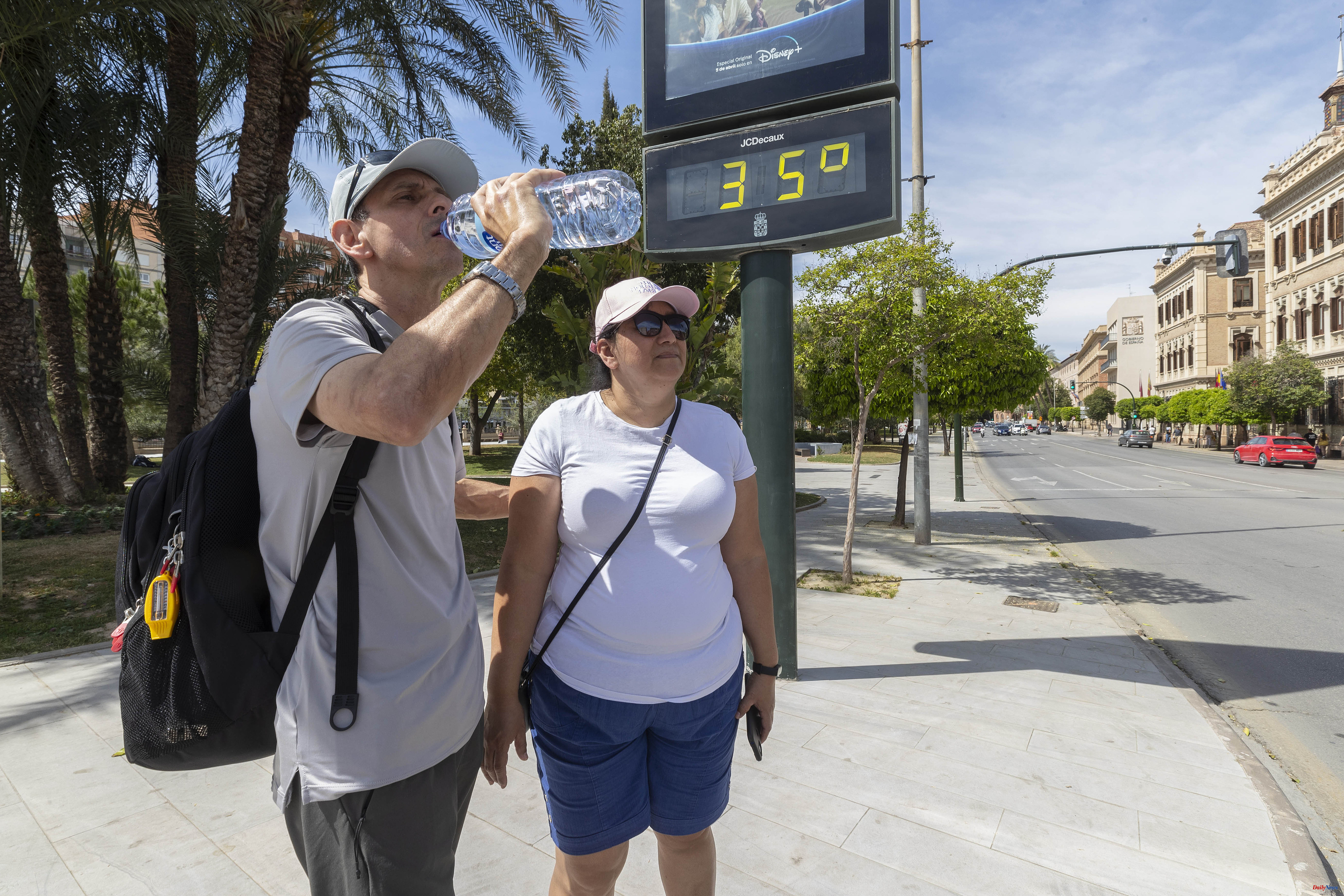
On Wednesday the night frosts will continue in the interior of the northern half, with daytime temperatures that will rise, but with a strong contrast between the early morning and the central hours of the day, when it will exceed 20 degrees in large areas of the country; in points of the Guadalquivir Valley as in Seville it can reach up to 28 degrees.
As of Holy Thursday, when the DANA is definitely moving away, it seems that stable and anticyclonic weather will predominate throughout the country with generally little cloudy skies, although with some clouds in the interior in the afternoon but generally without rain.
Temperatures will rise, reducing the extent of frost and with values already above 20 degrees in the early afternoon in almost the entire country; it will even touch 28-30 degrees in cities like Badajoz, Córdoba or Seville.
On the shores of the Mediterranean, due to the effect of the breezes, the thermometers will remain at values between 18 and 20 degrees in the early hours of the afternoon, "with a sea that is still somewhat cold for bathing," according to Rubén del Campo.
On Good Friday, instability could increase in the northeast of the peninsula, without ruling out some rain in the eastern Cantabrian Sea, the Pyrenees, Catalonia, the south of the Iberian system and the Balearic Islands.
In addition, it could snow in the Pyrenees above 1,000 meters while temperatures would drop in the north and continue to rise in the south.
From Saturday to the following Monday, although with considerable uncertainty still in the forecast, it seems that the probability of precipitation will persist in the northwest and in the Balearic Islands, with precipitation in general, in the form of showers, showers and of a scattered nature.
By then, 20 degrees will be exceeded practically throughout the country, even on the Mediterranean coast, and in the Guadalquivir Valley it will touch 30 degrees.
According to the criteria of The Trust Project