Meteorologists have been glued to their supercomputer-generated weather forecast models for several days. They process billions upon billions of mathematical operations every second. It is clear that it will be very hot next week while drought is already threatening 33 of the country's departments...
Cold drop is the cause of sudden temperature rises. This is a small, unstable mass of air that is aloft and is unpredictable in its movement. It is frequently the cause of sudden rises in the thermometer.
The weather forecast models appear to be close to agreement this time. The Azores will see a "cold drop" this weekend. This is where the "Azores anticyclone", the legendary Azores anticyclone, usually reigns. It should move Tuesday or Wednesday towards South-West Portugal. There, it will be greeted by hot air from the Sahara and sometimes with a few particles of desert sand.
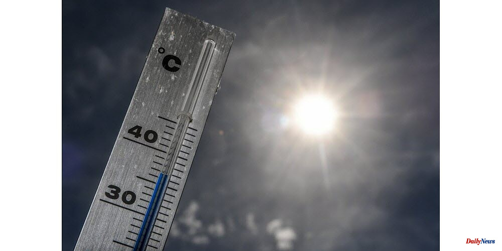
This has led to a steady and significant rise in temperatures in France since Tuesday. It could continue into next weekend. This furnace's hot air is already in Spain where it was measured at 39 degrees Celsius on Saturday in Seville. In the Guadalquivir Valley, spikes of 43degC can be expected by Wednesday. This heat wave promises to be the earliest since 1981.
Here is where multiple scenarios meet. Meteo France forecasters, who use European forecast models, expect a heat wave to hit Tuesday or Wednesday. However, there are still uncertainties over its intensity, duration, and extent.
The heat will be intense across the whole country starting Thursday. It will be 35 degrees in the shade during the afternoon. This value is often exceeded. Friday and Saturday will be even hotter, with an average temperature of 32-33degC in northern regions, which is where "peak heat" should be attained, and 35degC in south.
Other forecasting models, however, have seen better results than the European model, such as the American model during 2019's historic heat wave, when a record 46degC was achieved in Verargues, Herault). These alarmist values would be 35 to 39 degC between Wednesday and Saturday in the Massif Central, the entire country's eastern region, and potentially 40degC towards New Aquitaine or the Mediterranean hinterland.
It may be too soon to issue a heat wave alert. Meteo France will monitor for any changes to the thresholds of vigilance.
When certain temperature thresholds are exceeded for three consecutive days or three nights, the term "heat wave” is used. These thresholds are especially dangerous for the region south of the Loire, where temperatures struggle to fall below 20 degrees Celsius at night starting Wednesday.
The risk is less in the northern half. However, it will be important to determine the intensity and duration of this heat wave using the forecasts for the beginning of next week.