Twelve years ago there was a white Christmas throughout Germany. This year, the best chances of that are only in a narrow strip. Otherwise, mild and damp weather dominates, as ntv meteorologist Björn Alexander knows. If this weather situation were to continue, it could become dangerous in some places in the new year.
ntv: Christmas is just around the corner: What is the weather schedule for the festival of festivals?
Björn Alexander: Friday will bring plenty of rain and lots of wind. It is particularly wet in the middle and in the south. In the southwest there are 20 to 40, in the Black Forest even up to 80 liters per square meter. Only on the coast and in the northeast is it usually dry with daily highs of 5 to 8 degrees. Otherwise it will be 9 to 15 degrees. It is also windy, stormy on the mountains.
Where is it storming the most?
The most explosive is the situation on the Feldberg in the Black Forest with hurricane gusts.
Is there still a hint of winter somewhere on Christmas Eve?
Christmas Eve feels most like winter between the Elbe and the Baltic Sea, where things continue cloudy and cold and wet. Snow or sleet is sometimes possible with maximum values of around 3 degrees. In the rest of the country, the weather is also changeable with showers at a mild 6 to 12 degrees. This allows - after the partly persistent rain before - but also the sun to make one or two guest appearances.
What trends can we expect for the holidays?
On the first public holiday, the south-eastern half is dry and friendly - in southern Bavaria, away from the fog, it is even more often sunny. In the north and west, meanwhile, it will remain mixed with intermittent rain. The whole thing at 6 to 14 degrees. Good news: The wind is finally letting up temporarily.
And subsequently?
On Boxing Day, the next deep spur is already approaching. That means: more rain and more wind again. At the same time, a surge of milder air comes to us with 6 to 16 degrees. After that it gets a little colder again. But for the time being, snowflakes are probably only to be expected in the mountains.
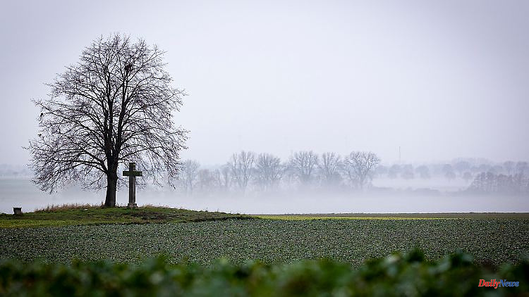
Green instead of white Christmas - it looked so wintry. Is such a change in weather unusual?
The notorious Christmas thaw actually occurs relatively regularly and describes that - after the first attempts at walking in winter - there is often a milder phase in the last third of December. And even if it was of course very wintery in December and the weather computers repeatedly saw chances of a prolonged winter, the thaw prevailed again in the end. Too bad for all winter friends. But the bottom line is that we experienced completely different temperatures at Christmas.
How are the extremes at Christmas in Germany?
For example, Germany experienced a very warm Christmas in 1983 or 2015. December 2015 was extremely warm with a good 5.5 degrees above the long-term average and around Christmas we had the highest temperatures of the whole month in many regions with double-digit maximum values up to up to the mountains. Even peaks of 16 to 18 degrees were easily in the running back then. Furthermore, 2015 was also one of the sunniest Christmas celebrations in the south, for example, with over 20 hours of sunshine. It is therefore also not surprising that December 2015 in Germany was almost completely snow-free. Even the Brocken in the Harz with a height of more than 1000 meters reported only 16 centimeters as the highest snow depth - and that was already on December 1st.
What was the coldest Christmas?
Especially at the beginning of the 1960s there were sometimes extremely icy times. December 1961 brought its coldest nights widespread around Christmas. Among other things, the Brandenburg Müncheberg or Hof in Bavaria reported lows well below minus 20 degrees. And around Christmas 1962 people were freezing at night in many places at below minus 20, sometimes even below minus 25 degrees. Kempten in Bavaria even recorded minus 27 degrees on December 26, 1962. Depending on the region, the years 1981 or 2010 brought us particularly snowy festivals. And in 2010 there was also the last, Germany-wide white Christmas.
Unfortunately, rain now seems to want to play a special role. Do we have to fear flooding?
First of all, it is important to see the rain as a Christmas present for nature and the water balance as a whole. So far this year, only February and September have been able to provide us with an overachieved rain balance. In this respect, rain is definitely needed. Fortunately, there is no need to fear major flooding at first. However, things could get dicey on the larger rivers in the new year. The decisive factor here is how the course is set for the start of the year. Should the western weather situation continue with repeated low foothills, then in the first third of January it could also mean high water instead of midwinter. But of course that's a long way off.
What are the general prospects for January 2023?
Overall, the experimental long-term assessment of January is currently too warm. In this respect, we can hope for savings in heating costs. The long-term forecasts currently choose a drier approach - compared to other weather calculations. The imminent setting of the course is therefore definitely starting with plenty of excitement and a wide range.


