Météo-France has placed twenty-seven departments on orange alert for Thursday February 22 due to Storm Louis, most of them due to violent winds. Departments of Ile-de-France, Normandy, Hauts-de-France, Centre-Val de Loire, Grand-Est, as well as Nouvelle-Aquitaine and Occitanie are affected by this alert, according to the organization bulletin published at 4 p.m.
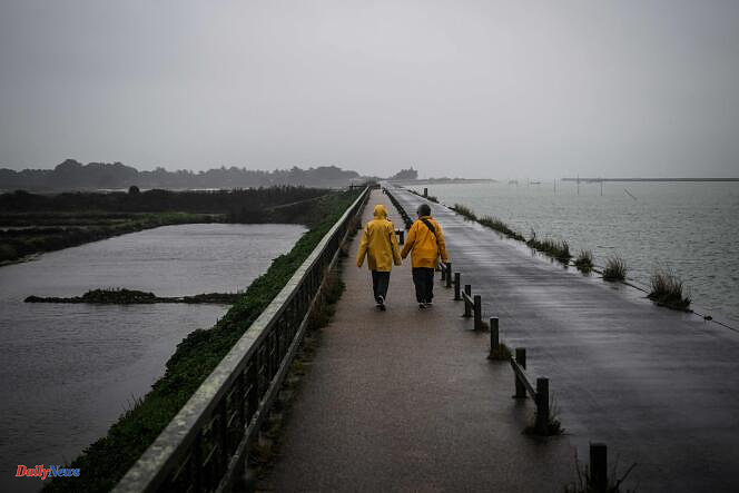
This turbulent weather, mixing wind and rain, is accompanied by a return of snow to the mountains. Orange vigilance for floods also concerns Deux-Sèvres, where a motorist died on Thursday, swept away in a river near Saint-Georges-de-Noisné, firefighters announced.
During an update on the situation, the distribution network manager Enedis announced that around 90,000 homes were without electricity, “across a large part of northern France”.
Unstable weather at the back
The depression deepened in the afternoon in the English Channel then in the North Sea, explains Météo-France. “In its wake, heavy rains accompanied by violent gusts will occur over a large northern half of the country, more particularly in the departments placed on orange alert. These violent gusts will also occur at the foot of the Pyrenees,” writes the organization, with peaks reaching 100 km/h in the South-West.
The wind will blow strongly, particularly in the orange departments, and strengthen in the afternoon "reaching 90 to 110 km/h inland, sometimes 120 km/h", according to Météo-France, which specifies that “these winds can take on a swirling appearance”. On the coasts, gusts could reach 120 to 130 km/h.
At the back, it will be unstable weather alternating between clearings, sleet and even sleet, with gusts of 90 to 110 km/h on the Atlantic coast and the English Channel, and 80 to 90 km/h inland. In the evening, the tramontane will be able to reach 90 to 100 km/h at peak while the wind will die down a little on the Atlantic coast and the English Channel.
Temperatures will also drop with, in the evening and the following night, a rain-snow limit dropping to 800-1,000 meters and heavy snowfall in the Alps.
Disrupted traffic and suspension of trains
The storm pushed the SNCF to suspend the running of certain trains. These traffic suspensions, intended to “guarantee the safety of all”, concern TER lines in Hauts-de-France (Béthune - Saint-Pol-sur-Ternoise; Arras - Saint-Pol-sur-Ternoise; Beauvais-Abancourt- Le Tréport; Amiens-Compiègne; Creil-Beauvais and Paris-Laon).
“The resumption of traffic on these lines will be effective Friday during the morning,” she said. “Disruptions” are also expected on Thursday in Brittany on the Quimper-Brest and Saint Brieuc-Lannion lines due to the risk of “strong winds”.
In Nantes, a section of the eastern ring road was cut off due to flooding, warned Bison Futé.
Traffic has also been suspended in Normandy since 1 p.m. on several lines circulating in the region and to neighboring regions. Trains serving Paris Saint-Lazare “will terminate at Caen, Rouen and Lisieux”, those for Montparnasse station “will terminate at Argentan”. Disruptions are also expected on the Paris-Vernon-Rouen and Paris-Trouville/Deauville routes, according to the TER Normandy website.