The recent winter episode of arctic cold will lessen this first weekend of March, in which the 'onion days' will predominate because the difference between maximum and minimum temperatures will be between 15 and almost 20 degrees in half of Spain.
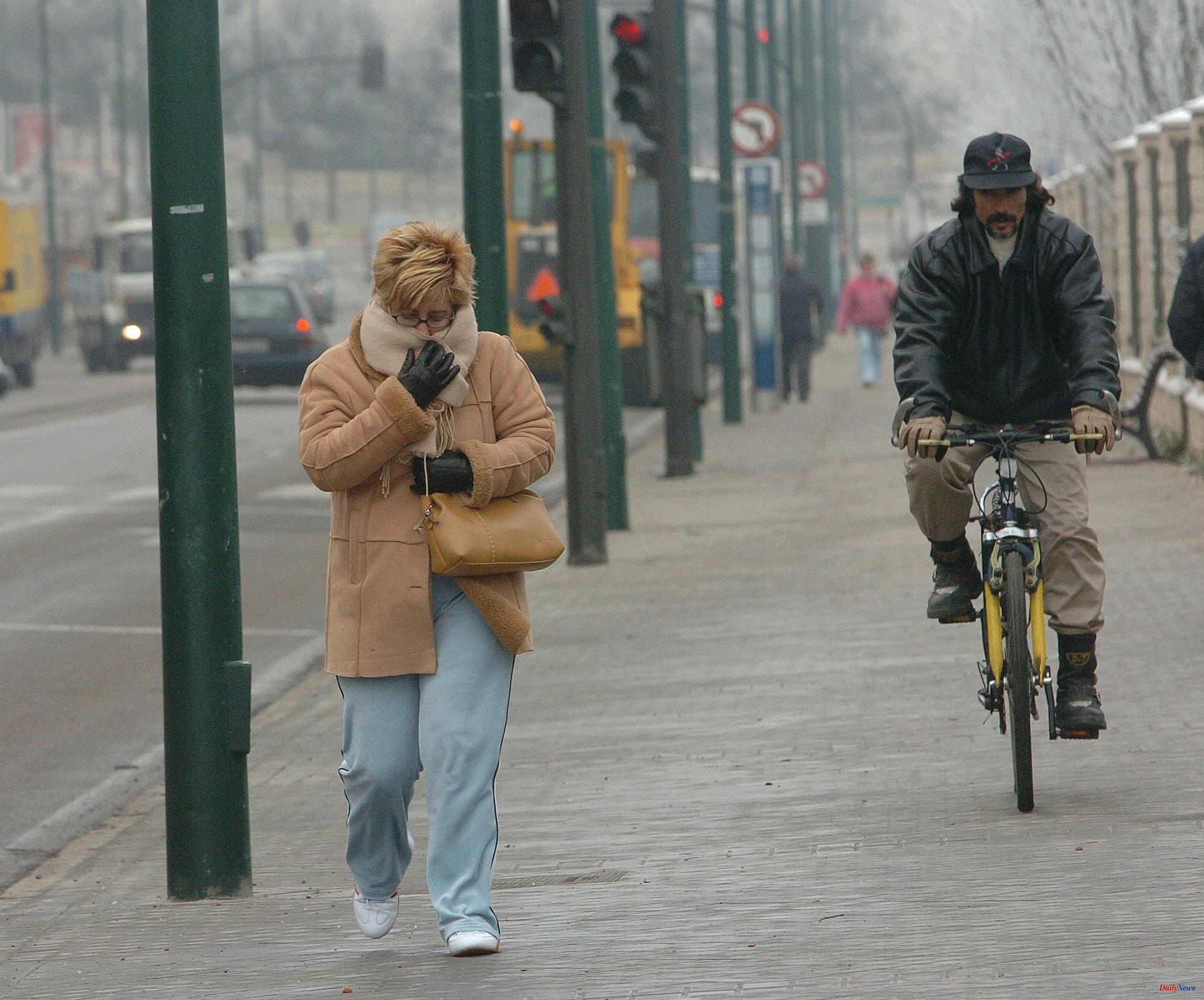
This expression, coined by Rubén del Campo, spokesman for the State Meteorological Agency (Aemet), means that thermal gap forces you to wear several layers of clothing that should be removed or put on depending on the moment. This will be noticeable this weekend, especially since temperatures will rise more during the day, while at night they will change less.
Thus, the Aemet prediction, collected by Servimedia, indicates that this Saturday a thermal amplitude of 19 degrees is expected in Ourense (-1 degrees at dawn and 18 during the day), 18 in Albacete (-4 and 14), Córdoba ( 2 and 20), Cuenca (-6 and 12) and Granada (0 and 18), and 17 in Badajoz (2 and 19) and Teruel (-4 and 13).
That difference could be 19 degrees this Sunday in Albacete (-2 and 17), Teruel (-4 and 15) and Ourense and Toledo (0 and 19 in both capitals), and 18 in Ciudad Real (-1 and 17). and Soria and Zamora (-4 and 14 in both cases).
This weekend, stable weather is expected at the beginning and a worsening later due to the entry of an Atlantic front through the southwest of the peninsula. "The approach of a storm from the Atlantic could leave rain on Sunday in the southwest of the peninsula and open the door for new fronts to arrive over the following days. Therefore, we expect a start to next week with rain , especially in the west of the country and also in parts of the north," said Del Campo.
In addition, Del Campo stressed that "the temperatures are going to show a gradual recovery." "In any case, the night frosts are going to continue in a good part of the interior of the peninsula for the remainder of the week. Although they will be, in general, less intense, it will still be possible to drop below 10 degrees below zero in mountain areas, especially in points of the Pyrenees", said Del Campo.
This Saturday a stable and dry environment will prevail in which the sun will shine except in the eastern Cantabrian Sea, the upper Ebro and the Iberian System, where there will be clouds and light rain, with the snow level between 600 and 900 meters.
The thermometers will mark higher values compared to Friday throughout the peninsula except in Galicia, the Cantabrian communities and the South Plateau, with more than 20 degrees in the Guadiana and Guadalquivir valleys.
The hottest capitals will be Santa Cruz de Tenerife (23 degrees), Las Palmas de Gran Canaria (22), Seville (21) and Córdoba (20). Instead, it will be colder in Burgos and Vitoria (9), and Palencia, Pamplona, Segovia and Soria (10).
This Sunday there will be a change in weather because a front associated with an Atlantic storm will sweep the peninsula from the southwest, with rains starting at noon in the southern half occasionally accompanied by storms or hailstorms, less intense and likely in the north and south. this.
The precipitations will occur mainly in the southwest and it is not ruled out that they will be accompanied by an occasional storm. The snow level will be between 1,000 and 1,200 meters, with a tendency to rise to between 1,200 and 1,500 meters.
The Canary Islands will have slightly cloudy or clear skies in the eastern islands and cloudy intervals in the western ones, without ruling out occasional rain.
Daytime temperatures will drop in the western half of the peninsula and rise in the rest of the country, and night frosts will lose intensity. It will be hotter in Santa Cruz de Tenerife (24 degrees), Las Palmas de Gran Canaria (22), Seville (21) and Murcia (20), and colder in Ávila, Burgos, León, Palencia, San Sebastián, Santander and Vitoria (12).
As for the next week, the peninsula will be affected by a series of Atlantic frontal systems that will make the skies cloudy or covered with precipitation predominate, more intense and frequent the more to the northwest and being able to reach strong and persistent in the west Galicia on Wednesday and Thursday, and less the more to the southeast.
It is unlikely that it will rain in the eastern third of the peninsula and the rainfall will tend to disappear at the end of the week. It will only snow at high levels of the main mountain systems of the northern third of the peninsula.
Temperatures will rise gradually throughout the week, so that frost will be increasingly restricted to mountain areas in the northern half of the peninsula and from Wednesday only to the Pyrenean environment.
According to the criteria of The Trust Project