Summer is slowly turning its last round. While the sun initially shows itself from its best side, it gets uncomfortable from the middle of the week. Then rain showers and thunderstorms dominate. One or the other heater should also start up.
It's going to be an eventful weather week. First there is a charge of high pressure influence by "Ronald" with noticeably increasing temperatures. Even the heat mark of 30 degrees comes within striking distance in Bavaria and Baden-Württemberg. At the same time, Queenie, along with the remnants of former Hurricane Danielle, is expanding its influence throughout the rest of the country.
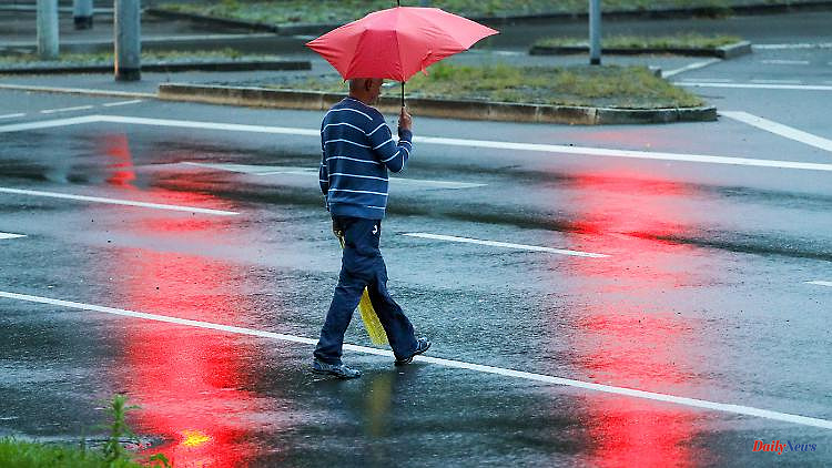
A combination that will bring a decent rainstorm in the middle on Wednesday and in the south on Thursday. According to the current status, in the order of 20 to 50 liters per square meter within 24 hours. September 2022 should therefore be quite wet. In some cases, the rain target, which averages 60 to 70 liters per square meter across Germany, has already been met.
Then the early autumn spreads with us. Single-digit values at night and below 20 degrees during the day. This puts us below 15 degrees on a daily average - which is generally described as the heating limit. At least one or the other heating system will start or intensify its operation.
Monday: Sun prevails
After the fog clears, it will be dry and friendly across the country, and even really sunny in the south and south-west. In addition, the temperatures will reach 19 to 23 degrees in the north-east and 23 to 27 degrees in the south-west.
Tuesday: Shared prospects
While in the very south it will continue to be partly sunny and late summer warm with 24 to 29 degrees, the tide is turning in the rest of the country. Downpours with lightning and thunder come up and ensure that the temperatures linger at 19 to 23 degrees.
Wednesday: rainy day number 1
In the south of Baden-Württemberg and Bavaria, you can expect a mix of sun and clouds at 23 to 26 degrees at the beginning, before there are sometimes strong thunderstorms with the risk of severe weather from heavy rain, hail and gusty winds. Meanwhile, long-lasting and heavy rain is moving over the middle. There is a risk of flooding in some areas. It's nicer throughout the day in the north, with only occasional showers and a windy 16 to 22 degrees.
Thursday: rainy day number 2
This time it's the south's turn for rain. Because thunderstorms and heavy downpours characterize the weather pattern in Baden-Württemberg and Bavaria. Otherwise the sun has more shares. The temperatures: 15 to 20, in Breisgau up to 22 degrees.
Friday and weekends: Autumn is coming
Overall, we can expect mostly mixed and cool as well as partly windy to stormy showery weather. Temperatures will be between 12 and 18 degrees on Friday. At the weekend it will even drop further with a maximum of 10 to 17 degrees. In the mountains (altitude around 800 meters) the maximum values are 8 degrees. Accordingly, at night the ground frost is not too far away. The autumn picture is rounded off by the north-west wind, which is still strong at times and which brings with it the risk of a light storm surge on the North Sea.