The water levels are falling, and long-standing records could soon be broken, especially on Lake Constance. But rain is in sight. Could this help?
Karlsruhe (dpa / lsw) - Despite the announced rain, the situation on the rivers and lakes will remain tense from the point of view of the flood forecasting center. A few showers and some heavy thunderstorms are forecast for the middle of the week, according to the situation report from the Baden-Württemberg State Institute for the Environment (LUBW) on Monday. However, the rainfall is neither long-lasting nor productive enough. "There is therefore no prospect of a lasting relaxation of the low water situation for the time being," the experts warn. "At most, local and short-term temporary increases in water levels are to be expected."
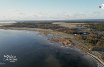
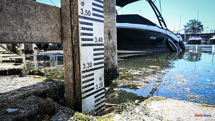
Especially on Lake Constance, the water level is approaching a record for this time of the year centimeter by centimetre. On Monday morning it was the third lowest level measured on August 15 at the Konstanz level since 1850. According to the flood forecast center, the value was 305 centimeters – that is only 7 centimeters more than 1949 (298 centimeters) and 3 centimeters more than in 2003 (302 centimeters). According to the management report, the water in Lake Constance is currently around 90 centimeters lower than is usual for the time of year.
The water level and discharge in the Upper Rhine is also exceptionally low for the time of year. According to the LUBW, the discharges in the Neckar are also very low for the month of August. However, the water levels between Plochingen and Mannheim can be regulated by impoundments.
From January to July, only around 70 percent of the long-term average precipitation fell in Baden-Württemberg. At around 85 percent of the gauges in the country, the water levels are below the lowest water level in an average year. The water in the Rhine near Karlsruhe and in the Neckar near Besigheim is also warmer than average.
According to the German Weather Service (DWD), the coming days should also bring summer temperatures, but thunderstorms and showers are also expected. Although Tuesday is expected to remain mostly dry, it is supposed to rain on Wednesday, the DWD announced. Especially in the west, individual showers and thunderstorms are possible, later also in the east of the country. The increasing cloudiness continued on Thursday with rain and thundery showers.